| |
Steve's Diary
Day 20 - Tuesday 17th July 2001
see also Dan's Diary for today
photo © 2001 dan
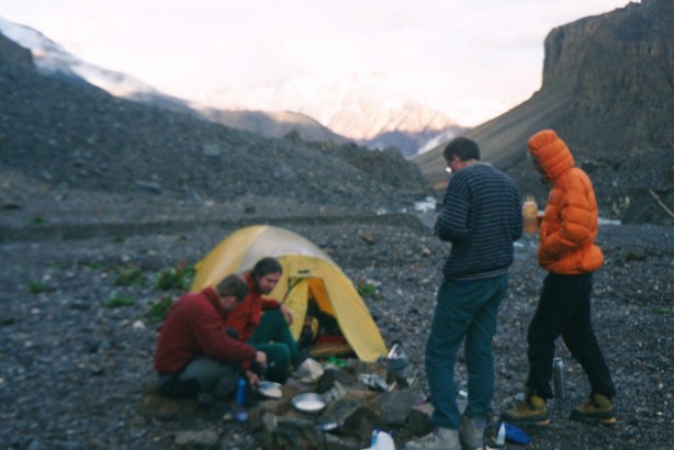
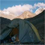
Porridge. Yum. |
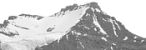
From ABC, Tagne towered over one head of the valley. Flanked on either side by glaciers, a snow-capped summit (later determined to be the south, or false summit) fell away to a crumbling rock face rimmed with snow. Clearly the most promising route to the summit was to start from one of the glaciers, and we dedicated the following day to a recce, split into two parties: Steve, Andy and Alan to take the North glacier; Jon, Dan and Narinder to take the South. A 7am start saw us picking our way through the shattered rock of the moraine field to the confluence of the two glacial streams, where we of the North party headed up steeply to the foot of the glacier. Cresting the rise of the terminal moraine, we were met by a scene of stunning beauty. At the foot of the glacier was a large lake, with the glacier itself rising from a tall ice cliff to the mountains behind. Icebergs floated in the water so we decided against a swim, but paused for lunch and photos before walking round the lake and up onto the ice. The glacier was dry, so we dispensed with crampons as we struck up and around the flank of Tagne, pausing only to take some photographs for our sponsors. The ridge to the south summit came into view and was snow and ice as far as the cloud base, which obscured the top. With the possible exception of a "step" two-thirds of the way up it looked possible but extremely hard - certainly more possible than the near-vertical north face. With that news we headed back to base camp.
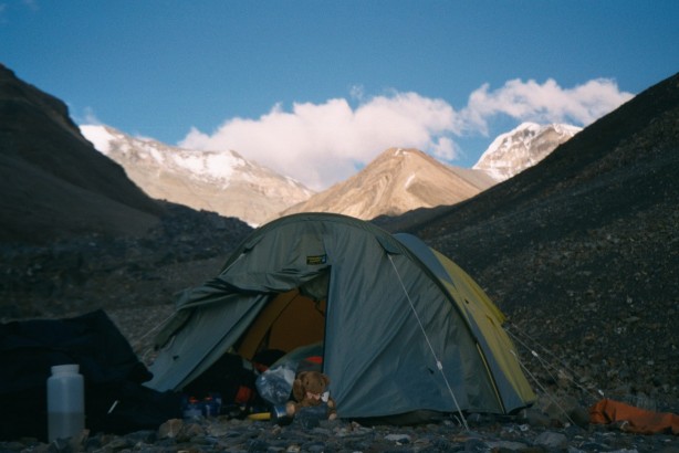
photo © 2001 dan
Sunset on the "Roly-Poly" from ABC |
The South party had been similarly successful, climbing the glacier as far as an outcrop of rock in its centre, from which they were unable to see a route to the summit of Tagne due to the low cloud base. Tongues of ice tumbled down the mountainside from the cloud, suggesting that there was an upper glacier or large snow field further up, but it was impossible to judge the prospects for a route up from the South. At the head of the glacier, separated from Tagne by the col into the Spiti valley stood a lower peak that we identified as Pt. 5800 on our map - this looked like a feasible secondary objective or acclimatisation peak. It was certainly deserving of a second look, and after an uneventful descent to ABC, rejoining the others, we decided that we should all take a second look at the South side of Tagne on the hopefully cloud-free morrow, and to recce for a possible route up Pt.5800.
|
© Copyright Steve Jolly 2001. |